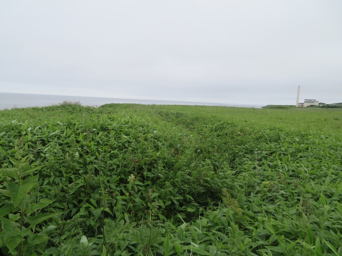

Complete Guide to Yukuepira Chashi Ruins | A Thorough Explanation of the Charm and Highlights of this National Historic Site
What is Yukuepira Chashi?
The Yukuepira Chashi Ruins are a national historic site located in Tomamu, Rikubetsu-cho, Ashoro-gun, Hokkaido. It is an Ainu period site built approximately 450 years ago (mid-16th century). Designated as a national historic site on September 8, 1987, it is one of the largest and most important cultural heritage sites among the hundreds of chashi ruins in Hokkaido.
Meaning in Ainu Language
The name “Yukuepira” means “Yuku-e-pira” in Ainu, which means “deer-eating-cliff.” This name suggests that this area was once a place where deer were hunted and consumed, indicating its deep connection to the lives of the Ainu people. Its location on a steep cliff along the Toshibetsu River is thought to have provided a suitable environment for hunting activities.
Meaning in Ainu Language
The name “Yukuepira” means “Yuku-e-pira” in Ainu, meaning “deer-eating-cliff.” This name suggests that this area was once a place where deer were hunted and consumed, indicating its deep connection to the lives of the Ainu people. Its location on a steep cliff along the Toshibetsu River is believed to have provided a suitable environment for hunting activities. ### What is a Chashi?
A Chashi is a general term for facilities built by the Ainu people in the early modern period, and is an important historical site in Ainu culture. While there are various theories regarding its purpose, such as being a place of worship, a watchtower, a fort, or a meeting place, the details remain not fully understood. Over 500 Chashi sites have been identified in Hokkaido, many of which are concentrated in the eastern region.
The structure of Chashi is diverse, and they are classified by location, such as hilltop, hillside, and flatland. Yukuepira Chashi is classified as a hilltop type, located on the top of a hill approximately 250m above sea level and 45m above ground level.
Historical Background of the Yukuepira Chashi Site
The Kaneran Legend and the Three Provinces of Eastern Hokkaido
Yukuepira Chashi is also known as “Kaneran Chashi” or “Rikumbetsu Chashi.” This place is named after Kaneran, a legendary figure from Rikubetsu who is said to have ruled over the three eastern provinces of Hokkaido (Tokachi, Kushiro, and Kitami).
Kaneran is a legendary figure known as the “descendant of thunder,” and is said to have been a powerful leader in this region. While there is a tradition that he resided in this chashi (fortified site) and ruled a vast area, many historical details remain unclear, and archaeological research continues.
Construction Period and Historical Positioning
Based on archaeological excavations and research, Yukuepira Chashi is estimated to have been constructed in the mid-16th century, approximately 450 years ago. This period coincides with the maturation of Ainu culture and the flourishing of trade with the Japanese. The Toshibetsu River basin, located on the border between Tokachi and Kushiro, was a crucial transportation hub and a politically and economically important region.
Among the chashi (fortified settlements) scattered along the Toshibetsu River, Yukuepira Chashi is one of the largest and is thought to have been a central facility in the region. Its size and structure suggest that it likely functioned not merely as a watchtower or temporary fort, but as a long-term residence and base for regional control.
Structure and Characteristics of Yukuepira Chashi Site
Large Chashi with a Three-Enclosure Structure
The most distinctive feature of Yukuepira Chashi lies in its large-scale structure. Three enclosures (kuruwa) are arranged on a hilltop facing a steep cliff, connected along a north-south ridge. This three-enclosure structure is particularly complex and large-scale among the chashi in Hokkaido.
Each enclosure forms an independent space while being interconnected, forming a large defensive system as a whole. This structure suggests multi-purpose use, including not only military functions but also living and ceremonial spaces.
Hokkaido’s Largest Dry Moat
Another important feature of Yukuepira Chashi is that it possesses the largest dry moat in Hokkaido. Each enclosure is separated by a deep dry moat, which enhances the defensive function and clearly defines the boundaries of each enclosure.
The scale of the dry moats, both in width and depth, is unparalleled among the chashi (fortified sites) in Hokkaido, suggesting that their construction required considerable effort and organizational skill. This can be considered evidence of the strength of the power that governed this area.
Unique Landscape as a White Chashi
Yukuepirachashi is also known as the “White Chashi.” This is because the entire site is covered in volcanic ash, presenting a unique white landscape that resembles snow even in summer.
This volcanic ash layer also plays a role in maintaining the excellent state of preservation of the site, making it an archaeologically valuable environment. The white surface contrasts beautifully with the surrounding greenery, creating a visual feature that leaves a strong impression on visitors.
Location and Geographical Environment
Strategic Point in the Toshiketsu River Basin
Yukuepirachashi is located on the tip of a hill on the west bank of the Toshiketsu River. The Toshibetsu River is an important river flowing along the border between the Tokachi and Kushiro regions, and has been used as a transportation route since ancient times. Several chashi (fortified settlements) are scattered along this river, with Yukuepira Chashi being the central one.
Its location on a hill overlooking the river offered many advantages, including traffic monitoring, management of fishing activities, and defensive advantages. Furthermore, the Toshibetsu River basin is blessed with abundant natural resources, and it is believed that many game animals, including deer, inhabited the area.
The Environment of Rikubetsu, Japan’s Coldest Town
Rikubetsu Town is known as “Japan’s coldest town,” with harsh climatic conditions where winter temperatures can drop below -30 degrees Celsius. While this cold environment is advantageous for the preservation of archaeological sites, it also speaks to the harshness of life for the Ainu people who lived here at the time.
The elevation of 250 meters is suitable for overlooking the surrounding area, but it is presumed that winter winds and snow were considerable. Nevertheless, the fact that a chashi (fortified settlement) was built in this area and people lived here demonstrates the high strategic and economic importance of this location.
Value as a National Historic Site
History and Significance of Designation
On September 8, 1987, the Yukuepirachashi site was designated as a national historic site. The managing body is Rikubetsu Town, which was officially designated as the managing body on March 22, 1993.
With its designation as a national historic site, this site is recognized as a nationally important cultural property, and appropriate preservation and utilization will be ensured. Its value as a representative site of Ainu culture and an indispensable heritage for understanding the history of Hokkaido has been officially recognized.
Importance in Ainu Cultural Studies
The Yukuepirachashi site occupies an extremely important position in Ainu cultural studies. Although many aspects of the chashi’s purpose and function remain unclear, its scale and structure make it a valuable resource for studying the political organization, social structure, and construction techniques of Ainu society. In particular, the complex form of the three-enclosure structure and the largest dry moat in Hokkaido are evidence of the Ainu people’s advanced civil engineering skills and organizational abilities, and provide important clues to deepening our understanding of traditional Ainu culture.
Highlights and Tourist Information
Main Highlights
The main highlights when visiting the Yukuepirachashi ruins are as follows:
Three Enclosures: The three enclosures, running north and south, each have distinct characteristics, allowing you to enjoy the structural beauty of the whole. Walking through each enclosure, you can imagine the lives and activities of the people who lived there.
Dry Moat: The largest dry moat in Hokkaido is overwhelming in its scale. The shape of the deeply excavated moat gives a real sense of the labor and skill required for its construction.
White Ground: The unique white landscape covered in volcanic ash is a feature not found in other chashi (fortified sites). The contrast with the surrounding greenery is beautiful, making it ideal for photography.
View: From the hilltop, you can overlook the Toshibetsu River basin and the surrounding mountains, allowing you to experience firsthand why this area was a strategic point.
Access Information
Location: Tomamu, Rikubetsu-cho, Ashoro-gun, Hokkaido
Transportation Access:
- Approximately 10 minutes on foot from JR Rikubetsu Station
- Approximately 40 minutes by car from Ashoro IC on the Doto Expressway
- Approximately 1 hour 30 minutes by car from Obihiro city
Parking: Available (Free)
Visiting Hours: Open year-round (24 hours)
Admission Fee: Free
Estimated Time Required: Approximately 30 minutes to 1 hour
Notes for Visitors
Please note the following points when visiting the ruins.
- As this is a nationally designated historical site, please do not damage the remains or take away soil or stones.
- Due to the steep cliffs, extra caution is needed when stepping, especially during rainy weather and winter.
- Rikubetsu Town is known as the coldest town in Japan, and winters are extremely cold. Please take sufficient precautions against the cold.
- Insect repellent is recommended even in summer.
- Toilets and rest facilities are limited, so it’s a good idea to prepare in advance.
Nearby Tourist Spots and Events
Highlights of Rikubetsu Town
When visiting the Yukuepirachashi Ruins, you can also enjoy other tourist spots in Rikubetsu Town.
Galaxy Forest Observatory: An observatory equipped with one of Japan’s largest reflecting telescopes, where you can enjoy the starry sky of Rikubetsu, which has a high rate of clear days.
Seki Kansai Museum: A museum introducing the achievements of Seki Kansai, a physician who contributed greatly to the development of Rikubetsu during the Meiji era.
Freezing Experience: In winter, an event is held where you can experience the coldest weather in Japan. ### Cultural Properties of Rikubetsu Town
Besides the Yukuepirachashi ruins, Rikubetsu Town possesses other valuable cultural properties. The town’s local history museum offers exhibits on Ainu culture and the pioneering era, allowing for a deeper understanding of the region’s history.
Preservation and Utilization Efforts
Preservation Activities
Rikubetsu Town is striving for the proper preservation of the Yukuepirachashi ruins, a nationally designated historical site. Regular mowing and environmental maintenance are carried out to maintain the preservation of the remains and to create a safe environment for visitors.
While the unique environment covered by volcanic ash is advantageous for the preservation of the remains, continuous management is necessary for long-term preservation due to factors such as erosion from wind and rain and changes in vegetation.
Educational Utilization
Local schools utilize the Yukuepirachashi ruins as teaching material, providing opportunities to learn about local history and Ainu culture. By actually visiting the site, children feel a closer connection to local history and learn about the importance of cultural property protection.
Furthermore, the town is making efforts to provide information to visitors by installing explanatory signs and creating guide pamphlets, continuing its efforts to convey the value of this precious cultural heritage to more people.
Research on the Yukuepirachashi Site and Future Challenges
Archaeological Research
While excavation and surveying have been conducted at the Yukuepirachashi site, many mysteries remain unsolved. In particular, further research is needed regarding the specific use of the chashi (fortified site), the actual living conditions, and the timing and reasons for its abandonment.
Recent advances in archaeological technology have led to the development of non-destructive investigation methods, expanding the possibility of obtaining new information without damaging the remains. It is expected that future research will deepen our understanding of Ainu culture and the history of this region.
Utilization as a Tourism Resource
Despite its value as a nationally designated historical site, the Yukuepirachashi site is not necessarily well-known. To utilize it more effectively as a tourism resource in the future, challenges include strengthening information dissemination, improving access, and enhancing explanatory facilities.
Amid growing interest in Ainu culture, the Yukuepirachashi site holds the potential to become an important learning and experiential site. It is necessary to explore sustainable utilization methods while balancing regional development and cultural heritage preservation.
Summary
The Yukuepirachashi site is a nationally designated historical site located in Rikubetsu Town, Hokkaido, and is one of the largest Ainu chashi (fortified settlement) sites in the prefecture. Built approximately 450 years ago, this site features a three-enclosure structure and one of the largest dry moats in Hokkaido, presenting a unique white landscape covered in volcanic ash.
Connected to the legend of Kaneran, a hero said to have reigned over the three provinces of eastern Hokkaido, and situated at a strategic point in the Toshibetsu River basin, this chashi is a valuable cultural heritage site that conveys the importance of Ainu culture to the present day. Its easy accessibility (approximately a 10-minute walk from JR Rikubetsu Station) and free admission make it a must-visit spot for anyone interested in Hokkaido’s history or Ainu culture.
In Rikubetsu, known as the coldest town in Japan, why not visit this precious historical site while experiencing the romance of ancient times and the magnificent nature? The Yukuepirachashi ruins continue to deeply move visitors as a special place where you can feel the history of Hokkaido firsthand.